A white dot surrounded by a red ring is the Knafelc waymark used to mark Slovenian mountain trails.
Recognise trail signs, choose a suitable route and explore Pohorje safely, alone or with family.
Pohorje has forest roads, tracks, hiking trails, educational paths and cycling routes. Before setting off, know which signs to follow and who the route is intended for. Waymarks help you navigate, but do not mean a trail is easy. Choose a route based on its length, elevation gain, terrain, your experience and current conditions, and stay on the marked path.
Why stay on marked paths
Marked paths guide hikers and cyclists along an established route and reduce the risk of straying onto steep terrain, into logging areas, onto private land or onto a trail intended for other users. On Pohorje, staying on the path also protects sensitive bogs, forest soils and habitats. Shortcuts can cause erosion and lead walkers onto impassable or dangerous sections.
It is important to distinguish between directions and difficulty ratings. Even a well-marked trail can be long, steep, muddy or slippery after rain. Before setting off, always check the route description, elevation profile, estimated walking or cycling time and any notices about closures or diversions.



How to read hiking waymarks
The Knafelc waymark
The most common waymark on Slovenian mountain trails is the Knafelc waymark: a white dot surrounded by a red ring. It appears on trees, rocks and other clearly visible places. At junctions, hiking signposts give the destination and approximate walking time. If you have not seen a waymark for a while, return to the last one you definitely identified and check your direction again.
What a waymark with the number 1 means
A Knafelc waymark with the number 1 indicates the Slovenian Mountain Trail. The number 1 is not a difficulty rating, nor does it mark the first of several local trails. It shows that you are following Slovenia’s oldest long-distance mountain trail, which starts in Maribor and continues across Pohorje towards other Slovenian mountain regions and the Adriatic. The opening section in Maribor leads from Streliška cesta towards Mariborsko Pohorje.
Other waymarks on Pohorje
Across the wider Pohorje area, you may also encounter the red-and-yellow waymark of the E6 European long-distance path. Local educational or themed trails may have their own symbols. Rozkina gozdna učna pot (Rozka forest educational trail), for example, is marked with a spruce tree and a yellow-and-blue waymark on a white rectangle, or a yellow-and-blue marker. At junctions, do not automatically follow every coloured mark: check the trail name, destination and direction.
What to do if you lose the waymarks
Stop and do not continue along an unfamiliar path.
Return to the last waymark or signpost where you were sure of your direction.
Check a hiking map, saved GPX track or offline map.
Do not take shortcuts through forests, ski slopes, bogs or steep hillsides.
If you are lost, injured or in danger, call 112 and give your location as precisely as possible.
Cycling signs are different from hiking waymarks
Cyclists should follow cycling signs and routes intended for bicycles. A Knafelc waymark alone does not mean that cycling is permitted or that the trail is suitable for bikes. On forest roads and shared paths, adjust your speed, make others aware of your approach in good time and give priority to slower and more vulnerable visitors. Ride bike park trails only in the marked direction and choose trails suited to your skill level.
How the Drava cycling route is signposted
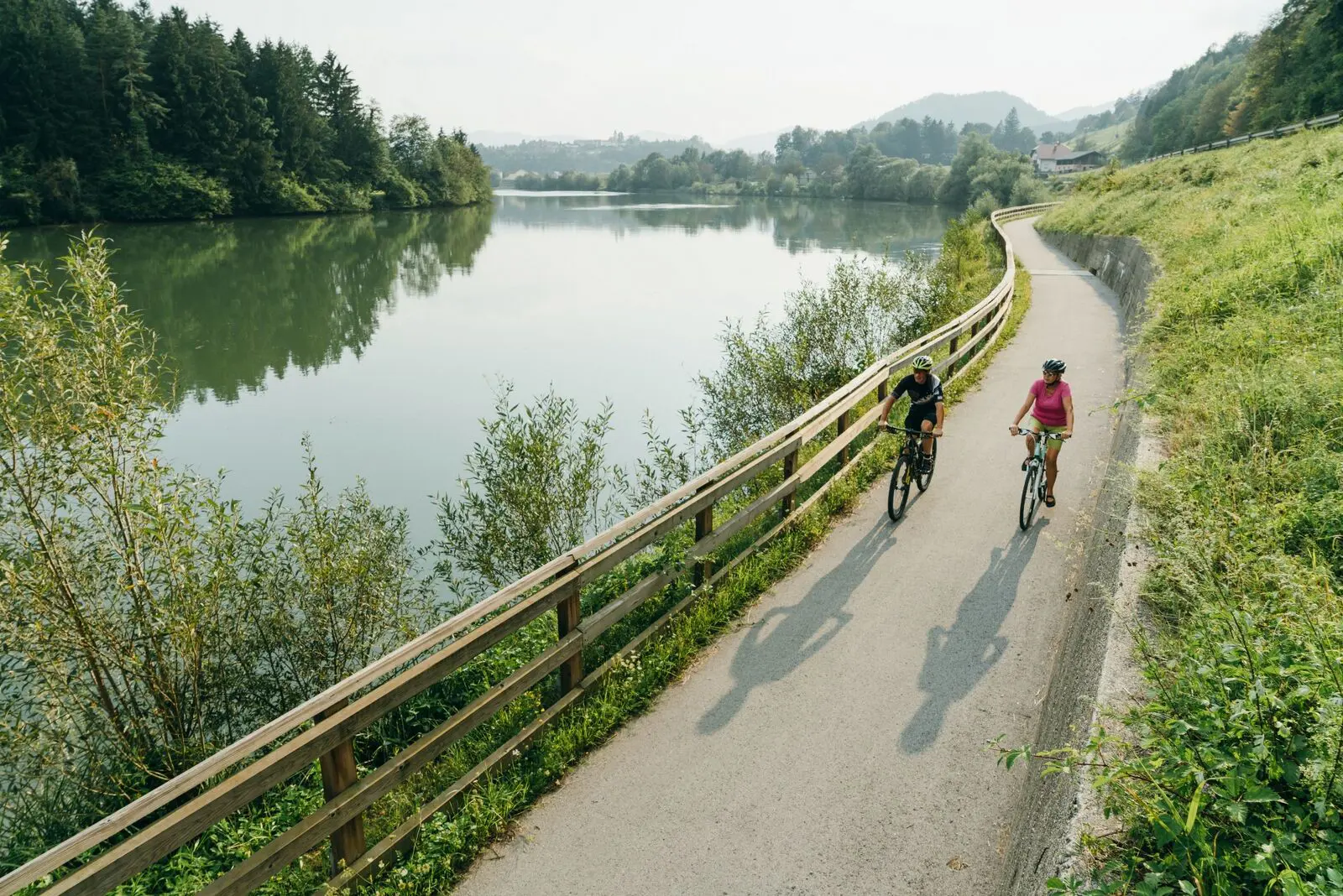
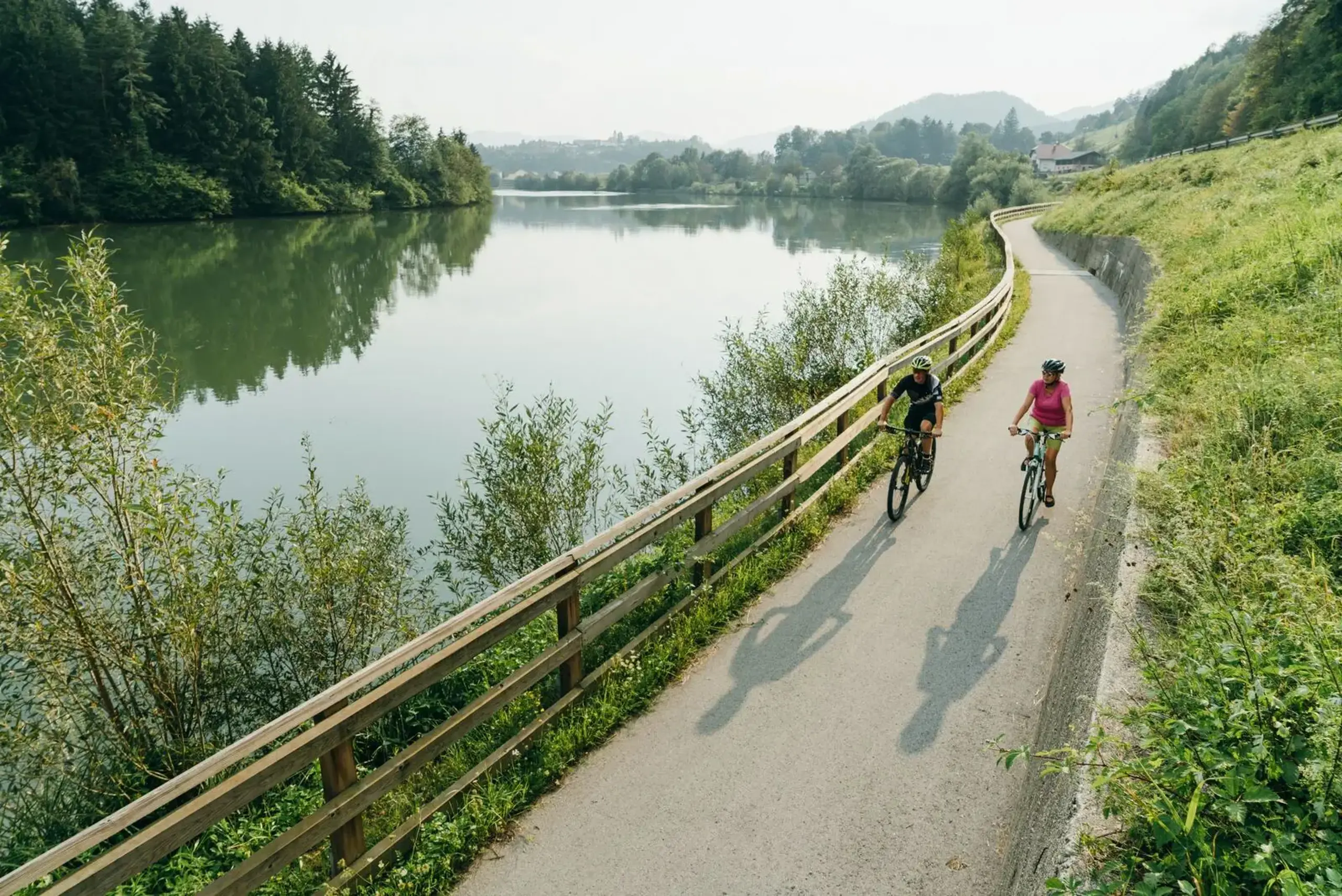
The Slovenian section of the Drava cycling route is marked with red directional signs and the route’s shared logo. Signs are green in Austria and blue in Croatia; the common logo helps cyclists follow the same international route across borders. At junctions, check the arrow and the direction of the route, and carry a map or saved GPX track as well as following the signs.
A marked cycling route is not necessarily physically separated from motor traffic throughout. The Slovenian section of the Drava cycling route follows designated cycle paths and quieter local roads, with terrain and climbs varying between stages. Before riding, check for diversion notices and choose a bicycle suited to the terrain.
Suggestions for families
Rozkina gozdna učna pot (Rozka forest educational trail)
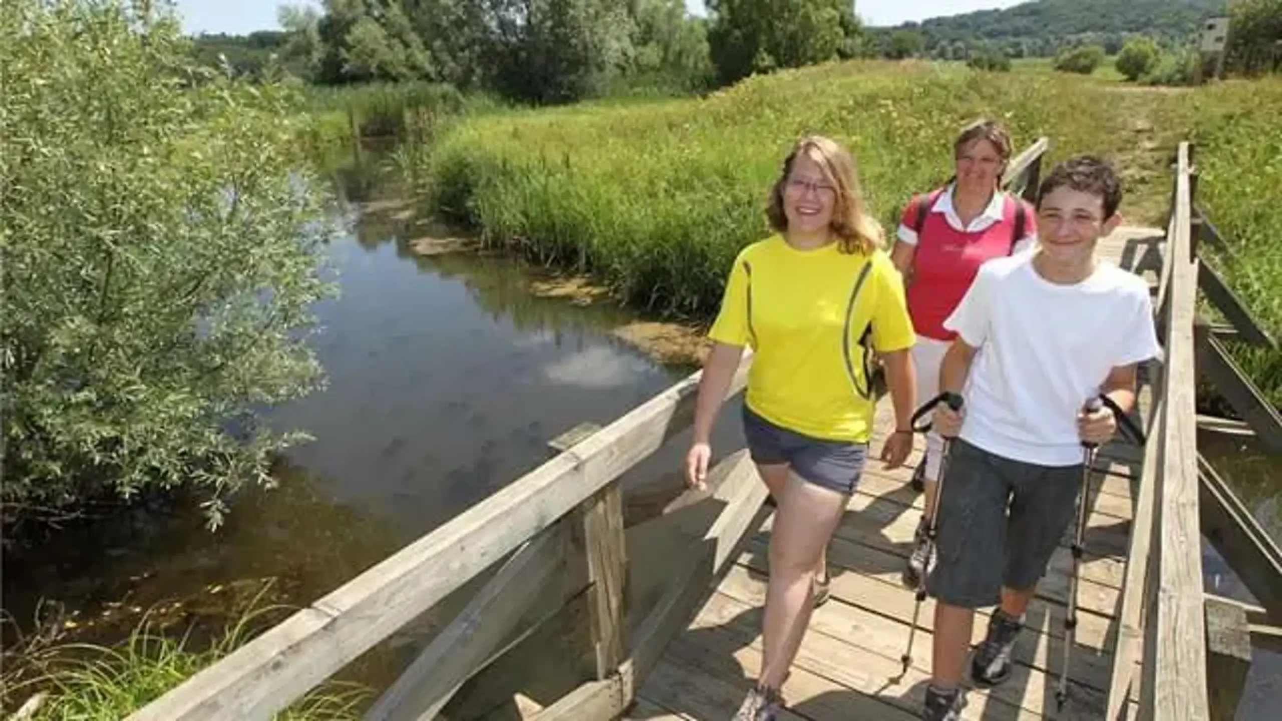
This circular educational trail starts at the upper station of Pohorska vzpenjača (Pohorje cable car) and passes the Church of St. Bolfenk. It is about 2.8 kilometres long, has an elevation difference of 169 metres and is rated easy. Allow around an hour without longer stops. Its educational stops make it suitable for a family outing, but children should wear appropriate footwear and stay with adults even on an easy trail.
Trikotna jasa
Several easy approaches lead to Trikotna jasa from the foothills of Pohorje. Depending on the starting point, they are approximately 0.9 to 2.2 kilometres long each way. All options involve an ascent, so choose one suited to the children’s ages, the group’s fitness and ground conditions.
A cycling trip along the Drava
Families should choose a shorter section with designated cycling infrastructure and return to the starting point along the same route. A section of the Maribor–Ptuj stage may appeal to older children and regular cyclists. The full Via Starše option is 30 kilometres long with little climbing, but includes different types of terrain. Before setting off, check the route, traffic and everyone’s abilities.
Check before you set off
Check the difficulty, distance, elevation gain and terrain;
check the weather forecast and current trail conditions;
check the opening hours of lifts, mountain huts and rental outlets, and options for carrying bicycles;
check your phone’s battery and access to an offline map;
make sure all hikers have suitable footwear and all cyclists have a helmet and a bicycle in good working order.
Preparing well for an outing involves more than suitable equipment and careful route planning. It also makes sense to protect yourself with appropriate insurance. If an accident or injury occurs during sport or other leisure activities, Generali accident insurance can provide financial protection.
Frequently asked questions
The number 1 indicates the Slovenian Mountain Trail. It does not indicate the difficulty of the route.
No. Waymarks show the route, but you need to check its difficulty in the trail description. Also consider the weather, terrain and your fitness.
Follow the red directional signs bearing the shared Drava cycling route logo and check the arrows at junctions.
Easier options include Rozkina gozdna učna pot (Rozka forest educational trail) and selected approaches to Trikotna jasa. Always choose a route suited to the children’s ages and the conditions.
Active
Outdoors